
Where is it? Great Bahama Bank, Bahamas [23.547188707, -76.46352937]
What's in the photo? Submerged sandbanks and seagrass beds in shallow water
Which satellite took the photo? Landsat 8
When was it taken? Feb. 15, 2020
This ethereal satellite snap shows beautiful, "painting-like" folds within an ancient underwater structure in the Bahamas.
The Great Bahama Bank (GBB) is a massive submerged platform stretching around 330 miles (530 kilometers) across a shallow ocean channel between Andros Island and the Exuma islands, according to Britannica. The crescent-shaped bank surrounds a darkly colored ocean drop-off known as "The Tongue of the Ocean," which plunges to depths of 6,500 feet (2,000 meters), according to NASA's Earth Observatory.
The photographed section of the GBB is around 23 miles (37 km) across and features a series of submerged sandbanks — most of which are covered with dense seagrass beds — that lie between 7 and 40 feet (2 to 12 m) below the ocean's surface.
The varying water depth and seagrass concentration cause multiple hues of green and blue to shine across the sandbanks, which have been carved into smooth, folding ribbons by ocean currents over thousands of years.
"The varying colors and curves remind us of graceful strokes on a painting," Earth Observatory representatives wrote.
This section of the GBB was first photographed in 2001 by the Landsat 7 satellite and has often appeared on lists of the most iconic aerial images of our planet.
"There are many nice seagrass and sand patterns worldwide, but none like this anywhere on Earth," Serge Andréfouet, an oceanographer at the French National Research Institute for Sustainable Development who first shared the 2001 image, told the Earth Observatory. "I am not surprised it is still a favorite, especially for people who see it for the first time."
The sandbanks are like giant underwater dunes carved out by ocean currents.
"Tides and ocean currents in the Bahamas sculpted the sand and seaweed beds into these multicolored, fluted patterns in much the same way that winds sculpted the vast sand dunes in the Sahara Desert," Earth Observatory representatives wrote in 2001.
The GBB lies atop a roughly 3-mile-thick (5 km) bed of limestone dating to the age of the dinosaurs, more than 65 million years ago. This hefty mass, made up of the remains of long-dead coral reefs, is so large that Earth's crust directly below the GBB has "sagged under the weight," according to the University of Texas at Austin's Marine Science Institute.
Before the end of the last ice age, around 12,000 years ago, this limestone slab had risen to more than 400 feet (120 m) above sea level and only resubmerged as global sea levels rose due to the melting of glaciers, according to the Marine Science Institute.
The Bahamas has more than 3,000 islands and smaller cays and is home to several other intriguing oceanographic features, including deep tidal channels off the coast of Great Exuma Island (which once harbored famous pirate ships) and a series of aurora-like sandbanks that appear to shine along the nation's northernmost islands.
See more Earth from space
 Glowing ring of algae in New Zealand
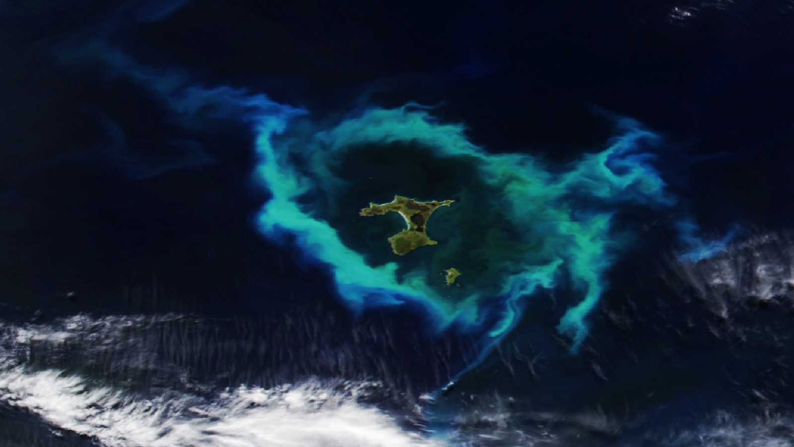
A 2026 satellite photo captured a gleaming halo of phytoplankton encircling the remote Chatham Islands. The stunning sight is the result of a hidden underwater structure, which has also helped kill hundreds of cetaceans.
 'Arctic blast' paints plume in Florida
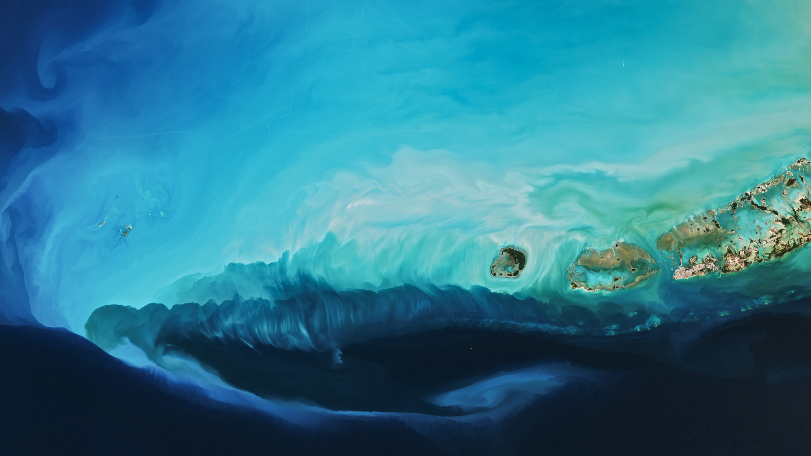
A 2026 satellite photo captured a stunning scene of sediment swirling across the West Florida Shelf after an extreme cold snap that covered large parts of the eastern U.S. in snow.
 Whale-shaped island in Belize
A 2020 astronaut photo shows the unusual cetacean-like shape of Belize's Lighthouse Reef. It's home to the famous Great Blue Hole, which doubles as the island's "blowhole" when viewed from space.
from Latest from Live Science https://ift.tt/Ob3FdLx
via IFTTT